
Features Scancaz
The Hauts-de-France Regional Committee for Maritime Fisheries and Livestock (CRPMEM) hasset up the SCANCAZ application in order to optimize the cohabitation between the differentregional fishing fleets.
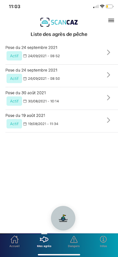
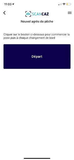
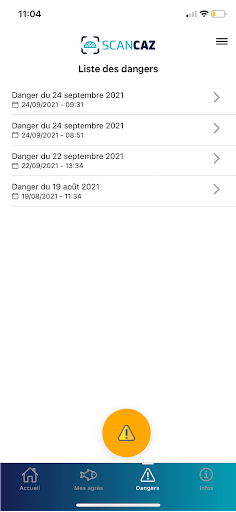
This application will allow fishermen practicing a so-called artdormant to geolocate and mark their fishing tackle on an interactive map and thusallow fishermen practicing a trailing art to visualize the location of allchannels.When registering, the fishermen will be assigned by the CRPMEM a role which theywill allow access to some of the associated functionalities:# Art Dormant, AD (gillnetters, caseyeurs, longliners, etc.)• Automatically declare the location of fishing gear using coordinatesgeographic data from the GPS system integrated into the mobile phone.• Declare the disappearance of a sector by modifying its status.• Geolocate and easily declare macro-waste or dangers encountered at sea.# Art Trainant, AT (trawlers, purse seiners, shellfish ...)• Geolocate and easily declare macro-waste or dangers encountered at sea.The primary functionality of this application is to allow fishing professionalsto declare and manage more easily the location of their fishing tackle on a smartphone.
Offacilitate the exchange of information
Fitness Tracking
Track your workouts and monitor your health metrics.
Financial Tools
Manage your finances and track your expenses easily.
Travel Features
Plan and manage your travels with ease.
See the Scancaz in Action
Get the App Today
Available for Android 8.0 and above